Thunderstorm chances increase in Phoenix Tuesday (Aug 6th)
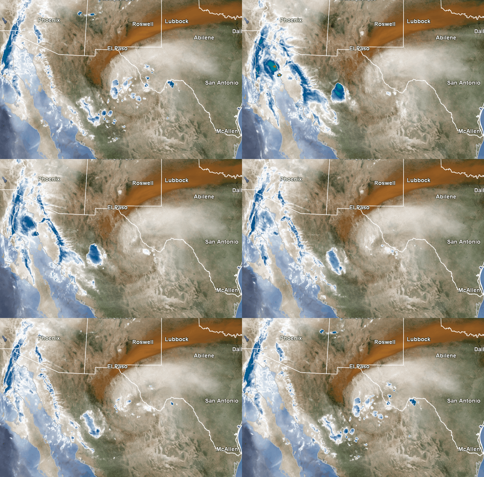
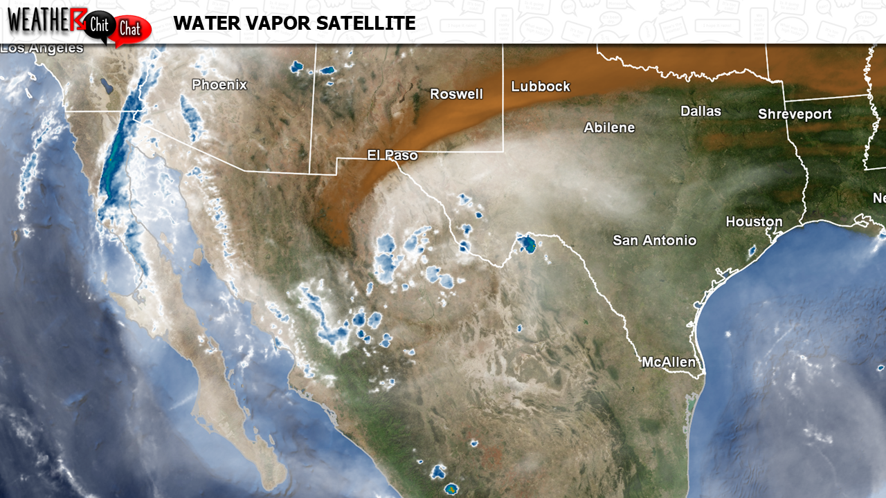
A weather disturbance, also called an inverted trough for the true weather enthusiasts, is currently (as of Monday morning) moving through the western portion of Texas and northing Chihuahua, Mexico. At the same time, a large area of high pressure is elongated along a line from the Four Corners back through Oklahoma. As a result, the disturbance will move westward around the bottom of the high and through the southern portion of Arizona tomorrow.
With plenty of moisture in place, strong winds higher up in the atmosphere guiding storms off the higher terrain into the Valley, and energy from the disturbance, thunderstorm chances will increase tomorrow afternoon into the evening. The main threat of these storms is strong winds, heavy rain, and lightning.
This pattern will also allow afternoon high temperatures to cool a handful of degrees, with high temperatures going from around 112º today to around 104-108 degrees Tuesday and Wednesday.


